A week across the Wadden
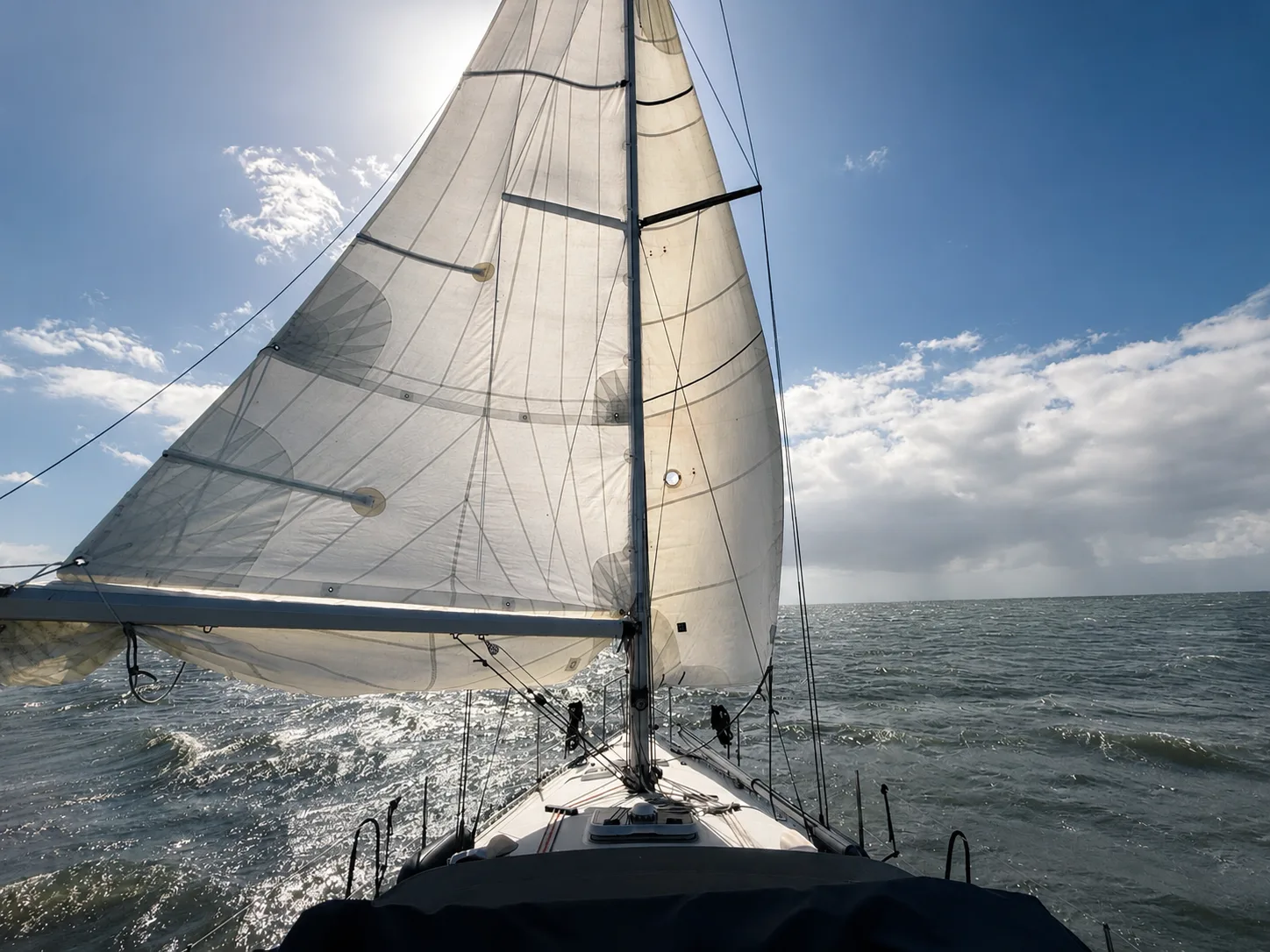
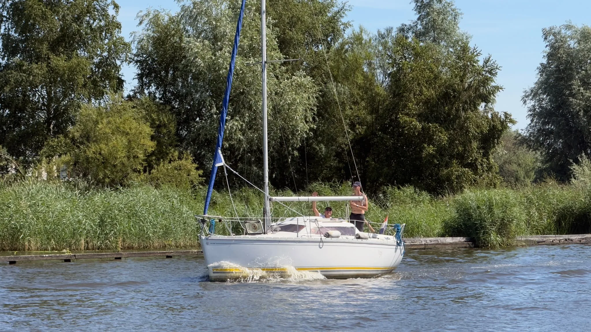
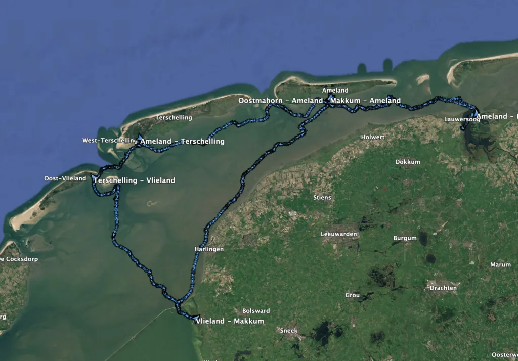
From 14 to 23 July, my uncle and I sailed Eowyn, a Feeling 346 with a lifting centreboard, across the Wadden Sea. We went from Oostmahorn to Ameland, Terschelling, Vlieland and Makkum, before returning through Ameland and finishing in Lauwersoog.
Over six sailing days, we covered just under 130 nautical miles. The first few days were warm and sunny, while it became a little cooler and cloudier later in the trip. The wind remained good throughout, usually somewhere between 10 and 20 knots.
Before leaving
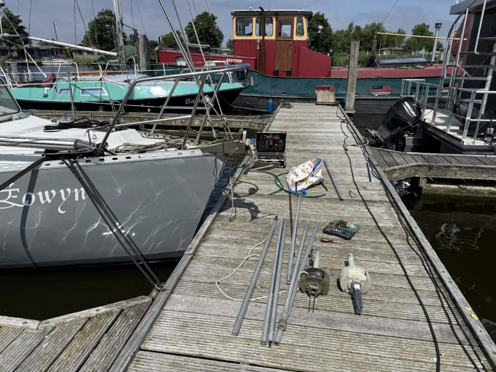
Before we could leave, the roller furling system still needed to be repaired. Its plastic inner profile had twisted and broken the previous year, which meant the entire system had to be removed and assembled again with a new profile.
It turned into a difficult job. We spent a full day working on it, followed by another half day before everything finally rolled and moved as it should. Once that was done, Eowyn was ready for the trip.
The complete route
The journey took us west from Oostmahorn along the islands, then south towards Makkum and back across the Wad towards Ameland and Lauwersoog.
14 July — Oostmahorn to Ameland
21.6 nm · 4h 36m · average 4.7 knots
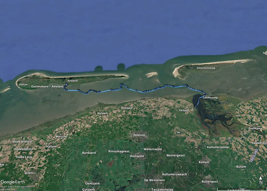
We left Oostmahorn in the morning, crossed the Lauwersmeer and went through the Robbengatsluis. From there, we continued west across the Wierumerwad and Zuiderspruit towards Nes.
The first day was warm, with enough wind to keep the boat moving steadily for most of the route.
16 July — Ameland to Terschelling
25.2 nm · 5h 33m · average 4.5 knots
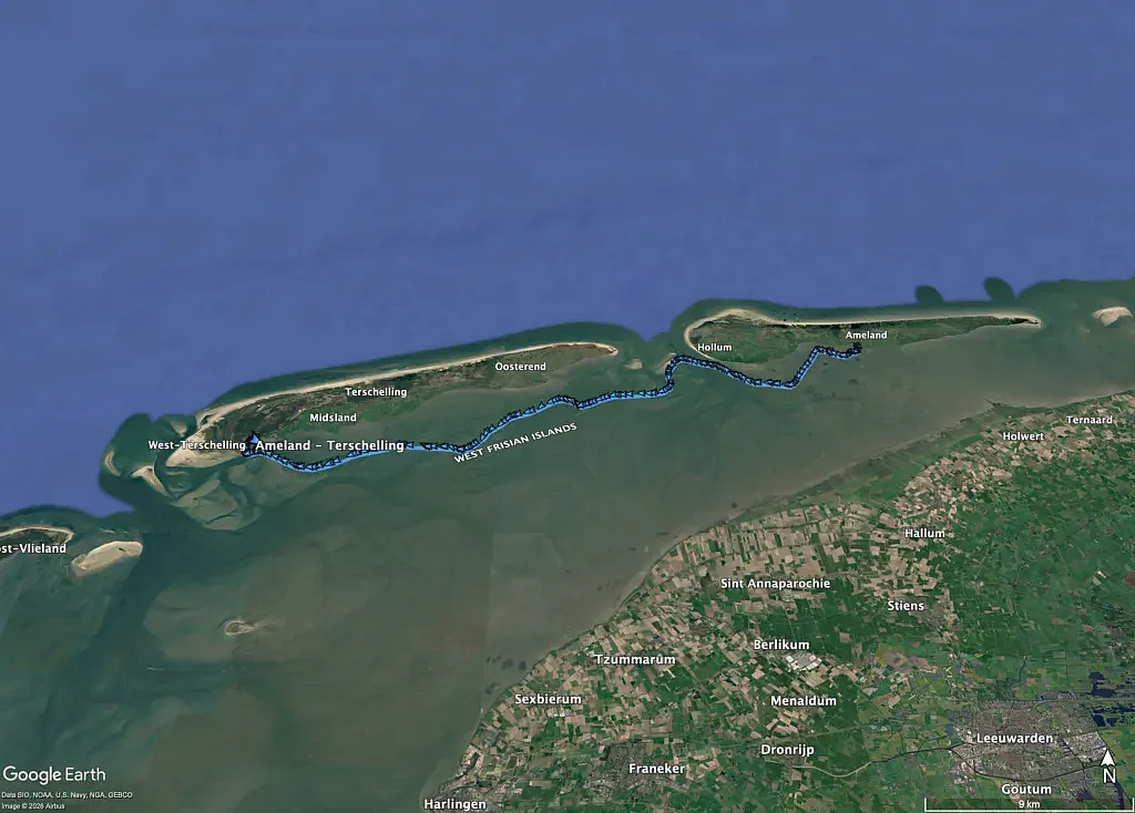
After a day on Ameland, we continued towards Terschelling. Our departure was timed around the tide at the Blauwe Balg, where the shallow water limits when the route can be sailed.
The first part went slowly across the shallower section southwest of Ameland. Once we reached deeper water, the speed increased and we continued towards Dellewal without any problems.
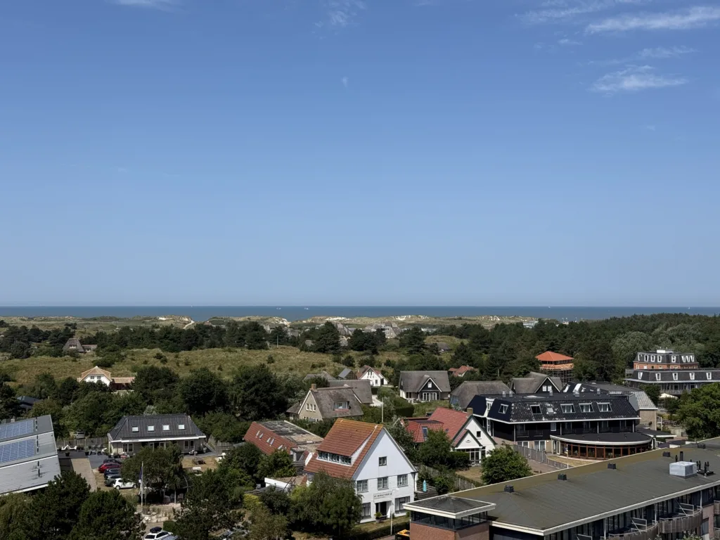
17 July — Terschelling to Vlieland
7.7 nm · 2h 03m · average 3.7 knots
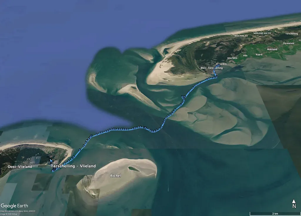
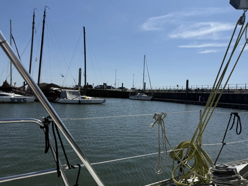
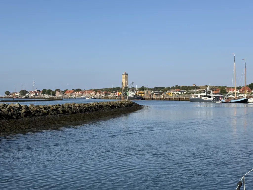
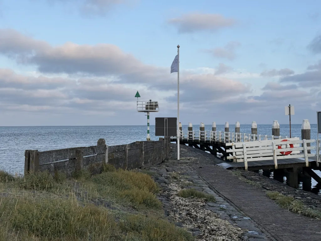
The shortest crossing of the trip took us from Dellewal to the harbour on Vlieland. It was a straightforward route and only took just over two hours.
We arrived early and spent the rest of the day on Vlieland.
19 July — Vlieland to Makkum
23.9 nm · 4h 09m · average 5.7 knots · top 10.2 knots
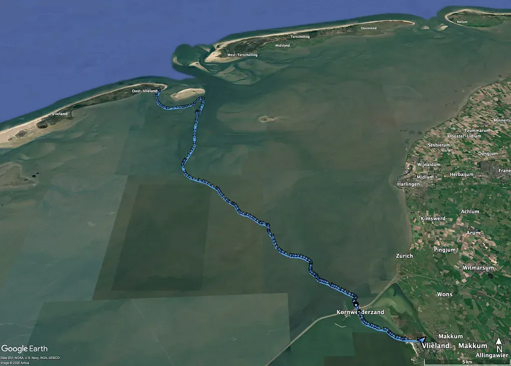
We left Vlieland through the narrow route south of the Richel. At one point, there was only around five centimetres of water beneath the centreboard. It felt slightly sketchy, but we made it through without touching the bottom.
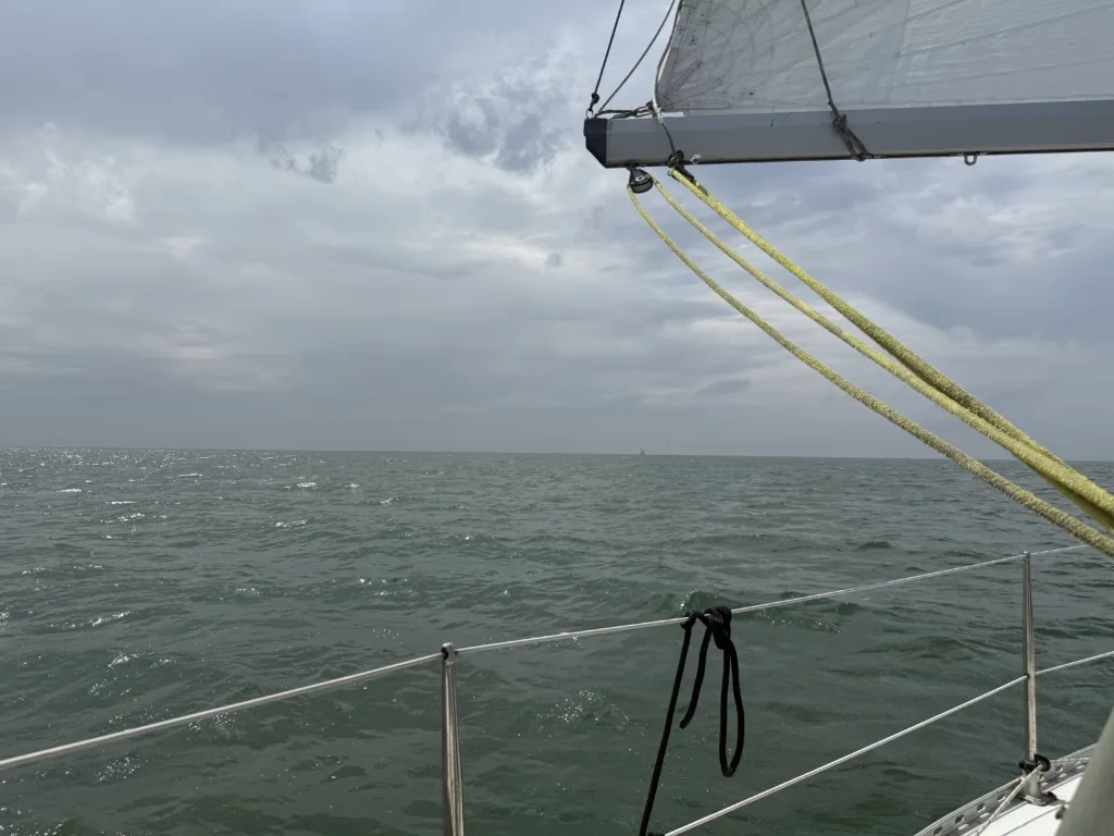
The wind was close to 20 knots, with occasional gusts above it, so we had already put a reef in the mainsail. Even reefed, the boat was moving quickly. After turning south into the Vliestroom, the current increased our speed even further. For around half an hour, we averaged more than nine knots over the ground, with a one-minute peak of 10.2 knots.
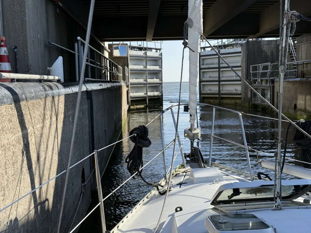
We continued through the Lorentz locks and crossed the final section of the IJsselmeer towards Makkum.
21 July — Makkum to Ameland
32.8 nm · 7h 05m · average 4.6 knots
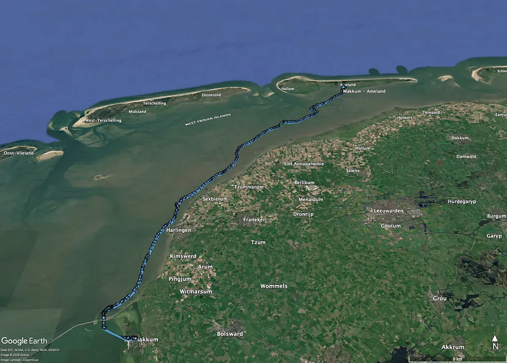
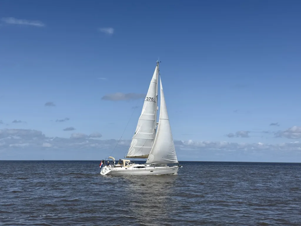
This was both the longest and my favourite route of the trip. My other uncle sailed alongside us in his own Feeling, so we completed the route with both boats.
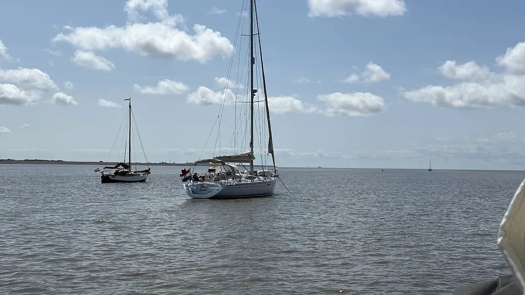
From Makkum, we passed through the Lorentz locks and sailed north past Harlingen into the Kimstergat. Near the end of the channel, we anchored together with several other boats and waited for around twenty centimetres of extra water to cross the tidal divide.
The route is only accessible under the right conditions. That day, the tide, wind and weather all worked in our favour. After crossing the shallow section, we continued through the channels towards Ameland, with both Feelings sailing together for most of the afternoon.
23 July — Ameland to Lauwersoog
18.7 nm · 3h 49m · average 4.9 knots
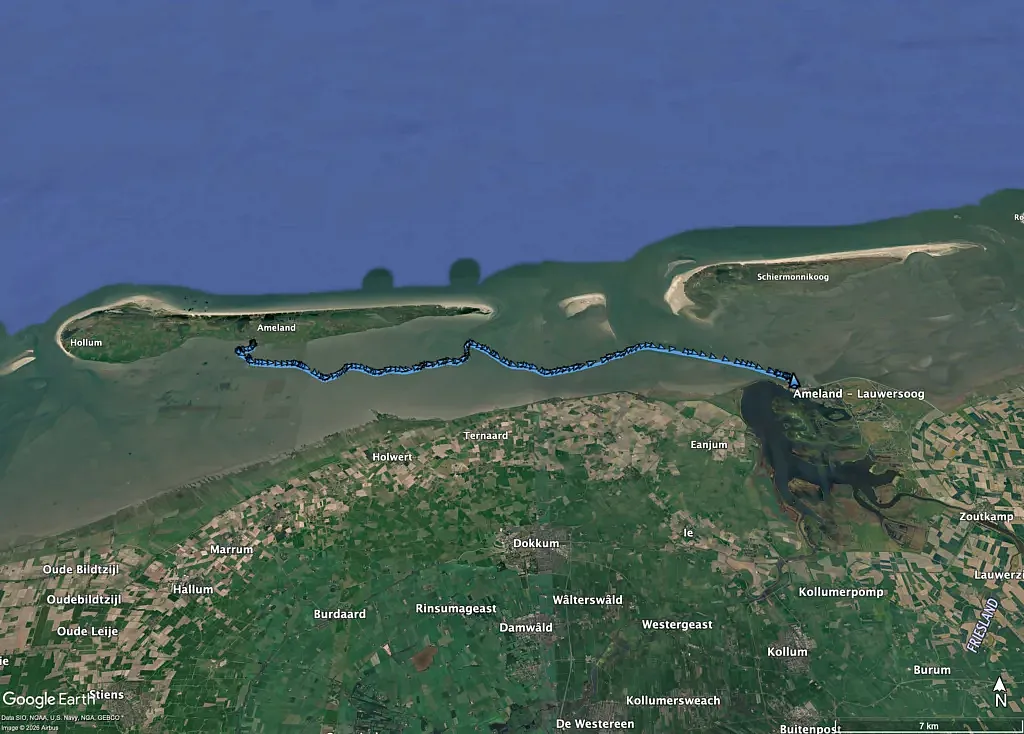
After another day on Ameland, we left in the afternoon for the final leg towards Lauwersoog.
We followed the tide east across the Wad. During the final hour, the current pushed us close to seven knots. We arrived in Lauwersoog in the early evening and moored *Eowyn* in the harbour.
The numbers
In total, we sailed 129.9 nautical miles across six legs. We spent 27 hours and 17 minutes underway, with an overall average of 4.8 knots.
Apart from the work on the roller furling system before departure, everything went smoothly. We had good wind, mostly pleasant weather and enough water to sail several routes that are not always accessible.
It was a very good week on the Wad.